
File:US Secession map 1865.png: Difference between revisions
Forgottenman (talk | contribs) A map of the United States in 1865, showing the status of each state and territory. From [http://commons.wikimedia.org/wiki/File:US_Secession_map_1865_(BlankMap_derived).PNG Wikimedia Commons]. |
DavidVeksler (talk | contribs) DavidVeksler uploaded File:US Secession map 1865.png Tag: Server-side upload |
||
| (One intermediate revision by one other user not shown) | |||
| Line 3: | Line 3: | ||
== Licensing == | == Licensing == | ||
{{Public domain}} | {{Public domain}} | ||
[[Category:History of the United States]] | |||


Latest revision as of 06:03, 23 July 2026
Summary
A map of the United States in 1865, showing the status of each state and territory. From Wikimedia Commons.
.PNG)
Licensing
"File:US Secession map 1865.png" is in the public domain in the United States.
File history
Click on a date/time to view the file as it appeared at that time.
| Date/Time | Thumbnail | Dimensions | User | Comment | |
|---|---|---|---|---|---|
| current | 06:03, 23 July 2026 | 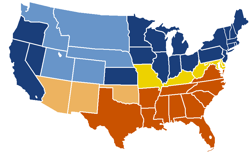 | 841 × 513 (24 KB) | DavidVeksler (talk | contribs) | == Summary == Restore the 2014 upload from the original Mises Wiki host |
You cannot overwrite this file.
File usage
The following file is a duplicate of this file (more details):

- File:US Secession map 1863 (BlankMap derived).png from Wikimedia Commons
.png)
The following page uses this file:
